3. driving Detroit

I-96 South and M-39 crossing, Curvilinear fugue
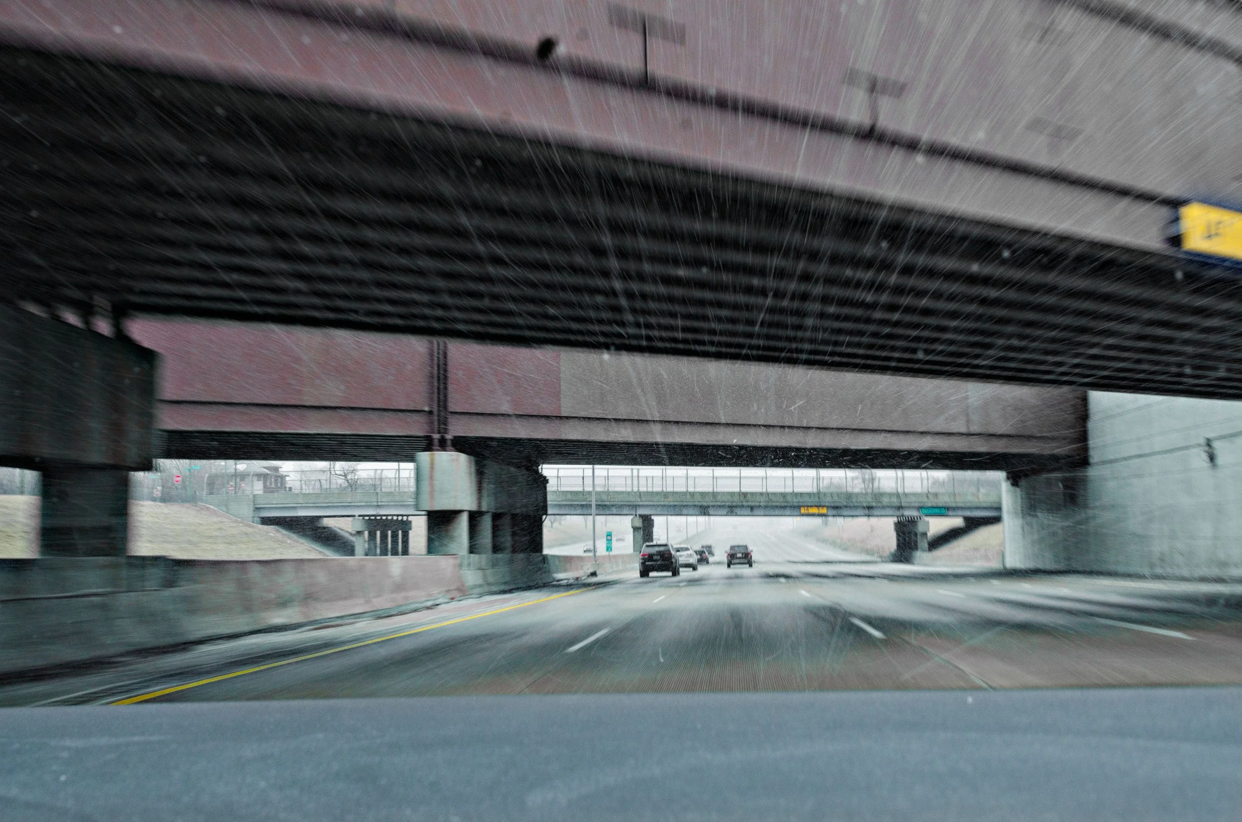
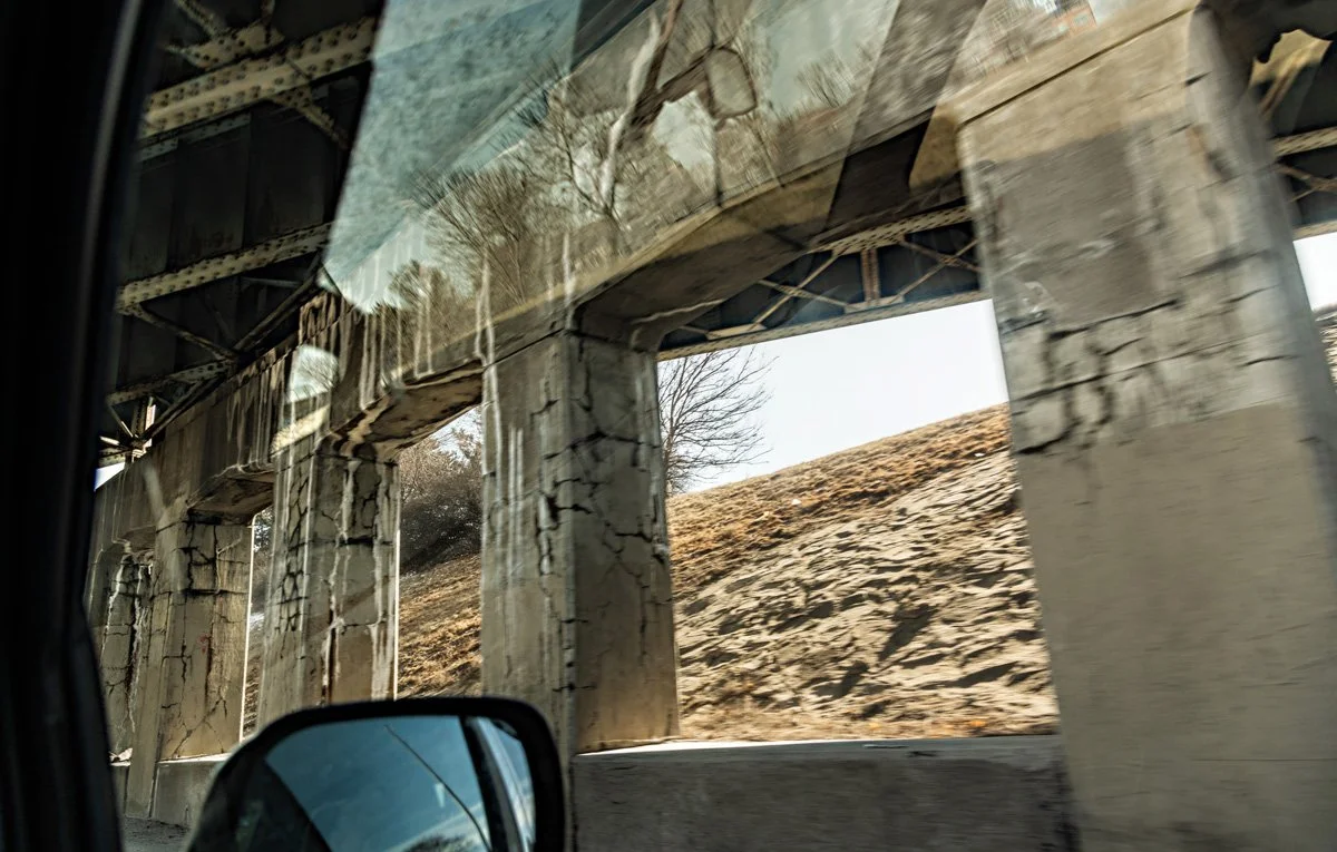
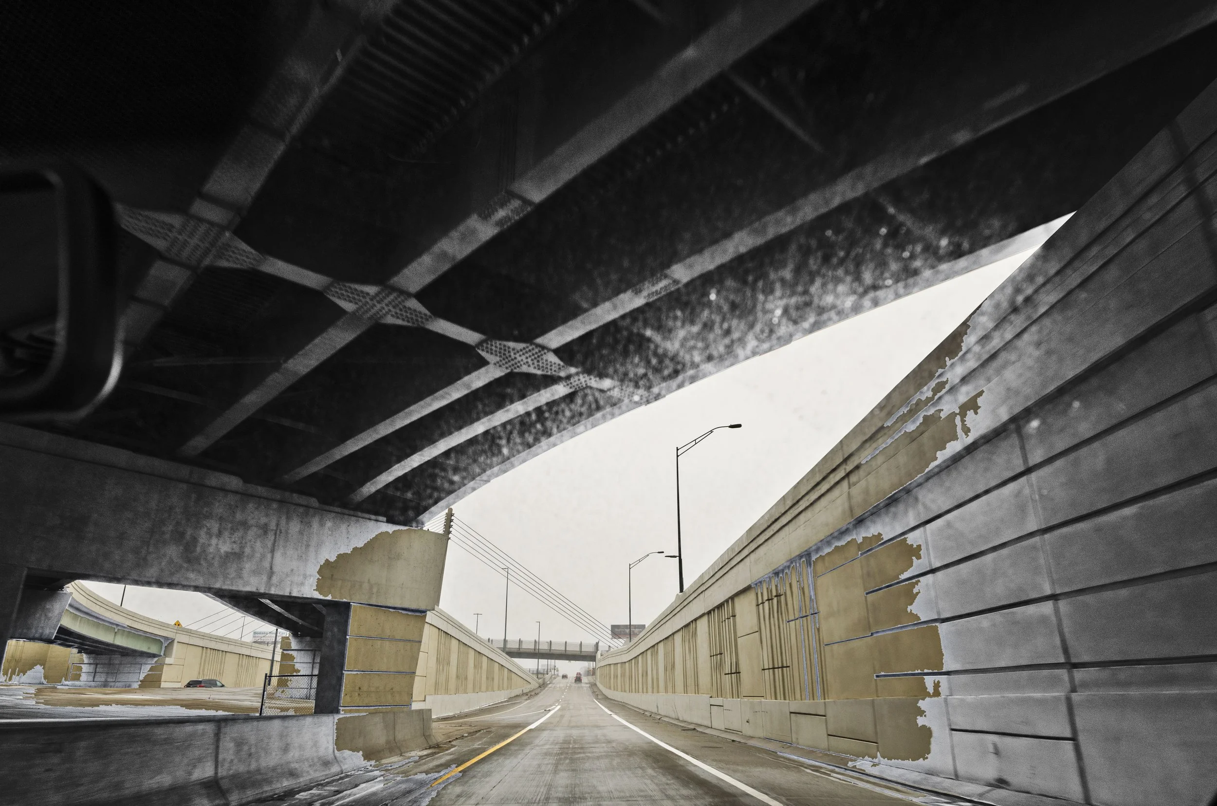
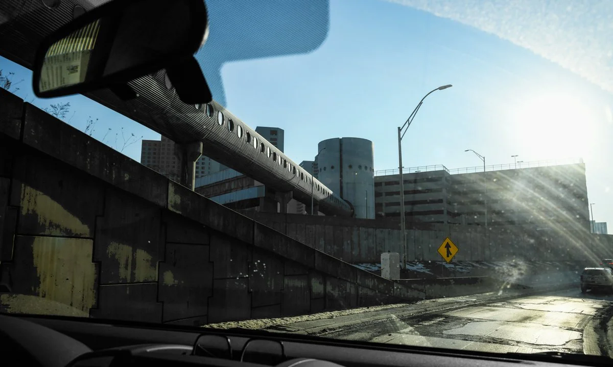
I-96 South, Overpasses

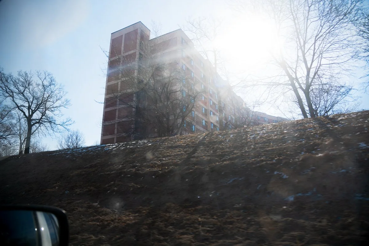
I-94 East, Morning sun
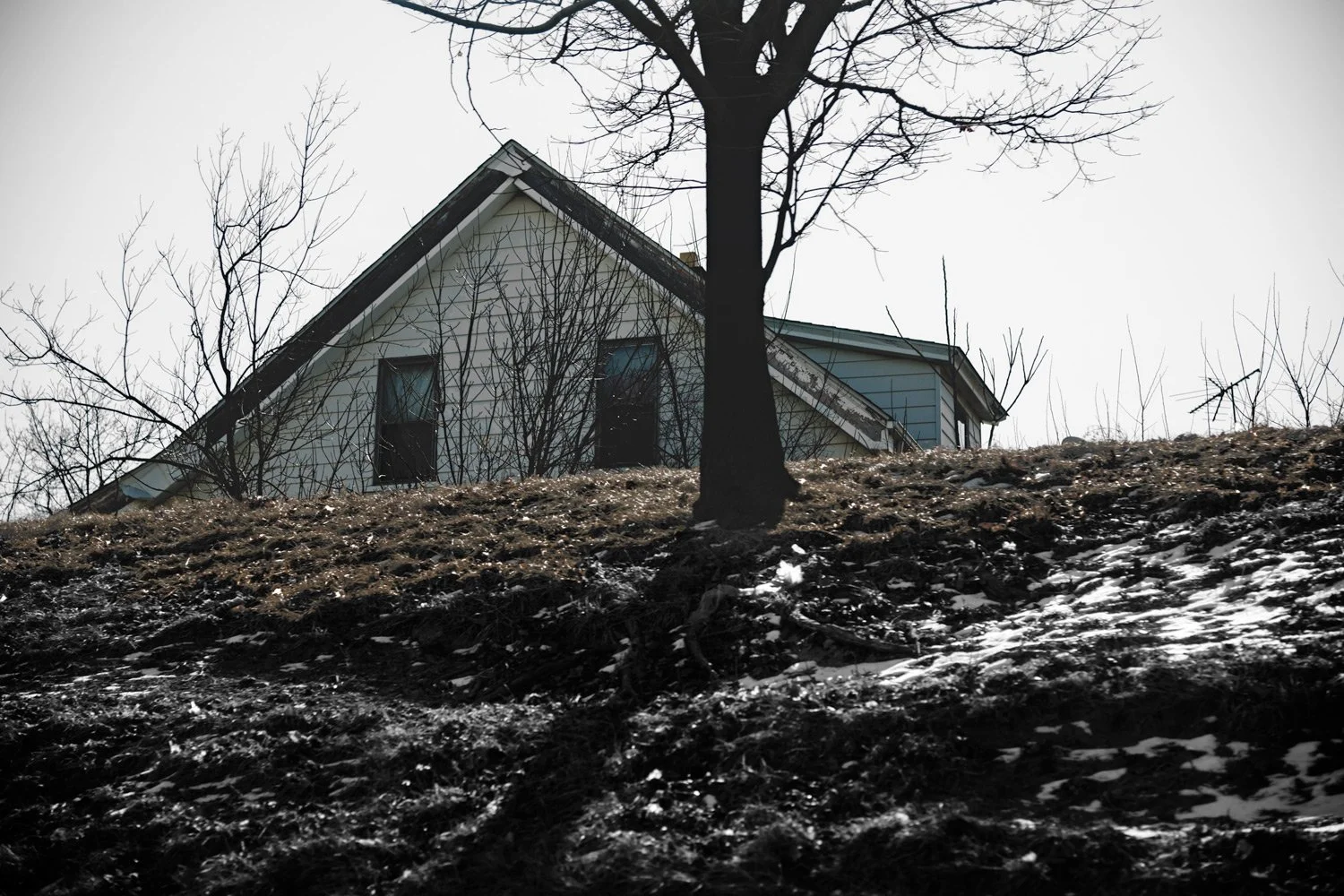
I-94 East, Triangle house
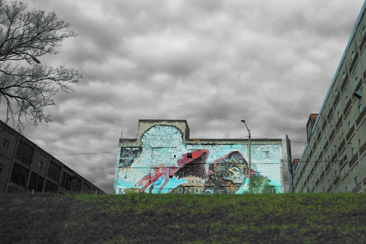
I-94 East, Fresco?
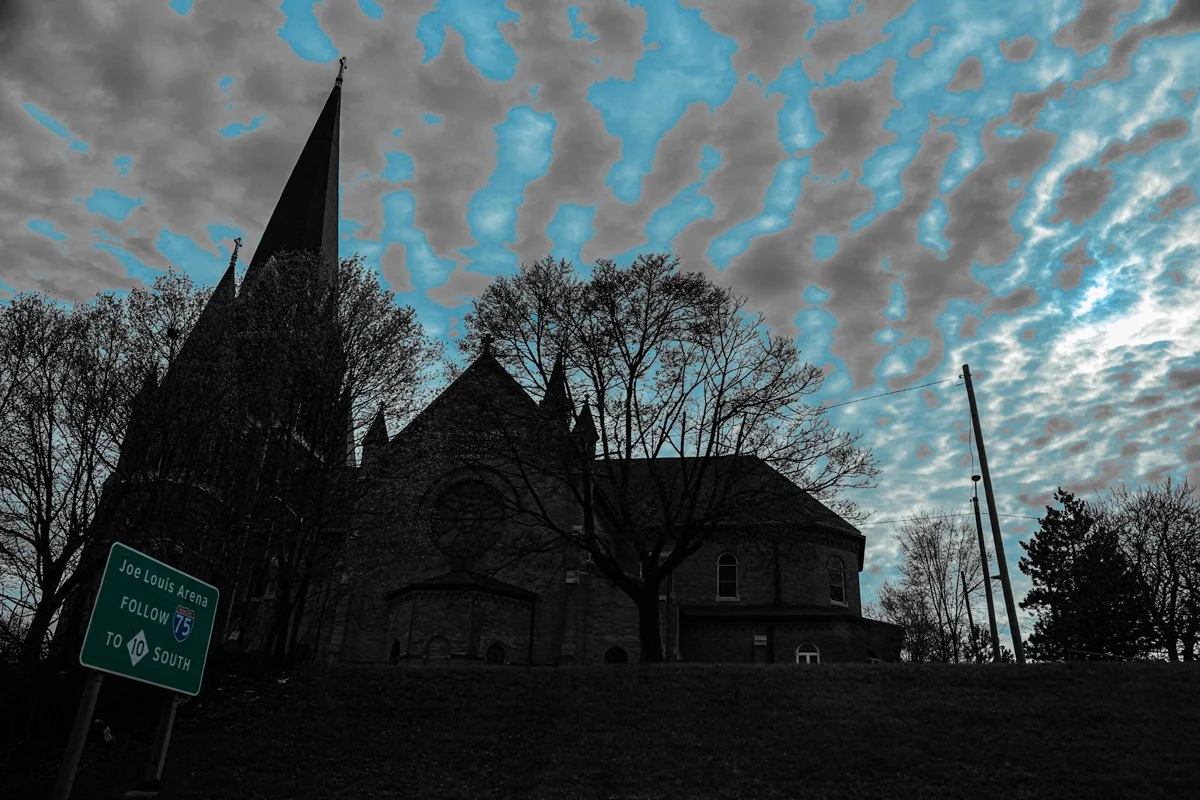
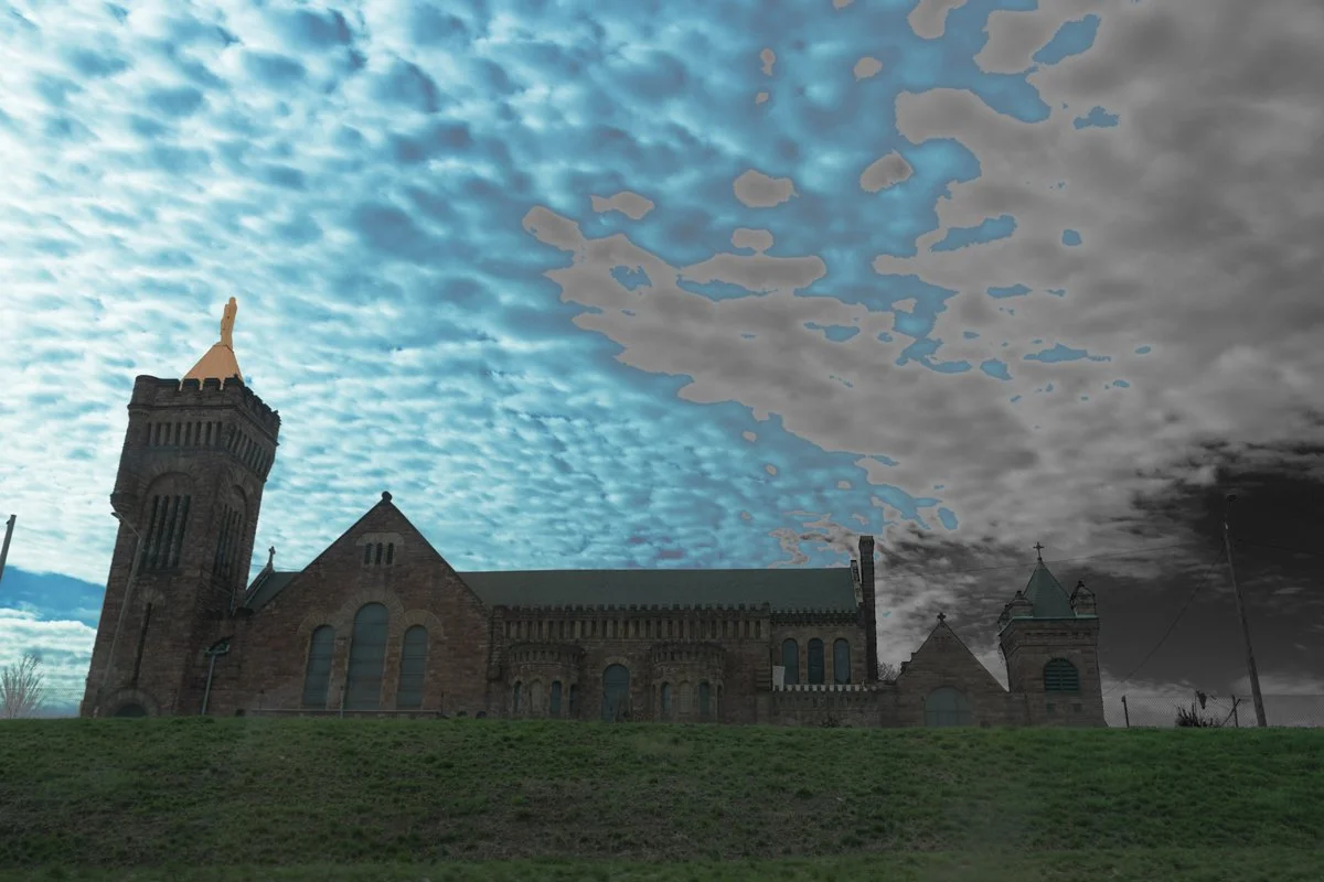
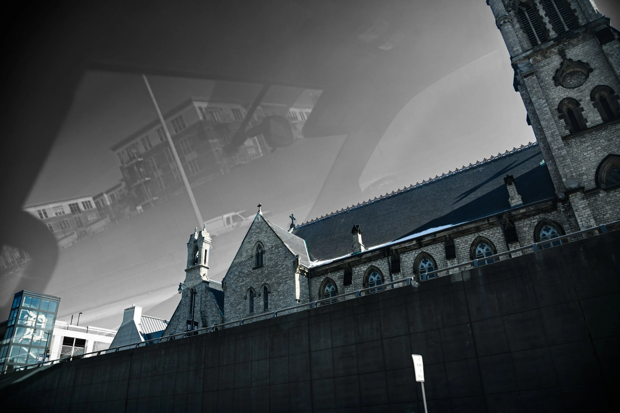
I-75 South, St. Josapath
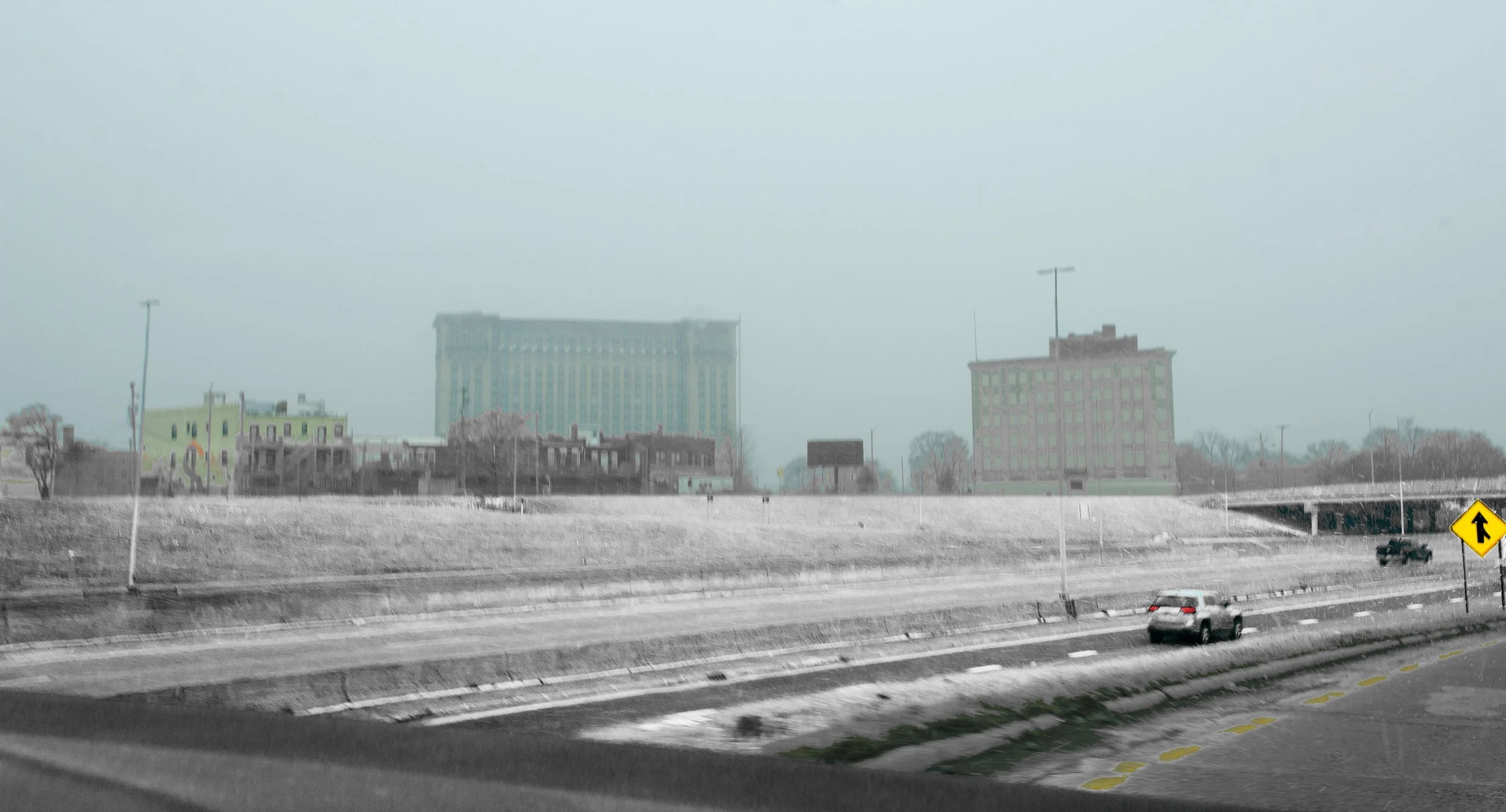
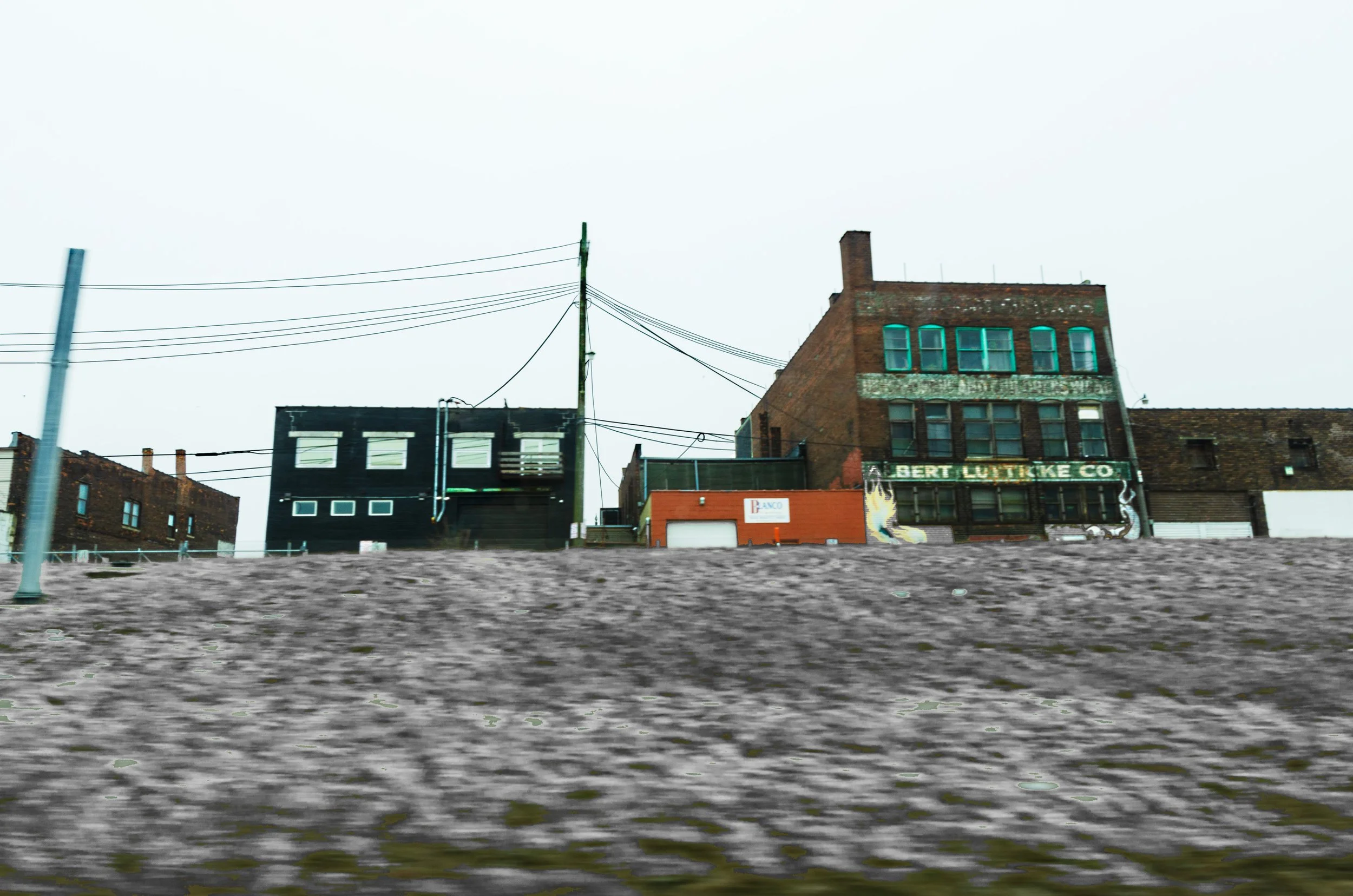
I-75 South from I-94 East, Michigan Central Railway Station
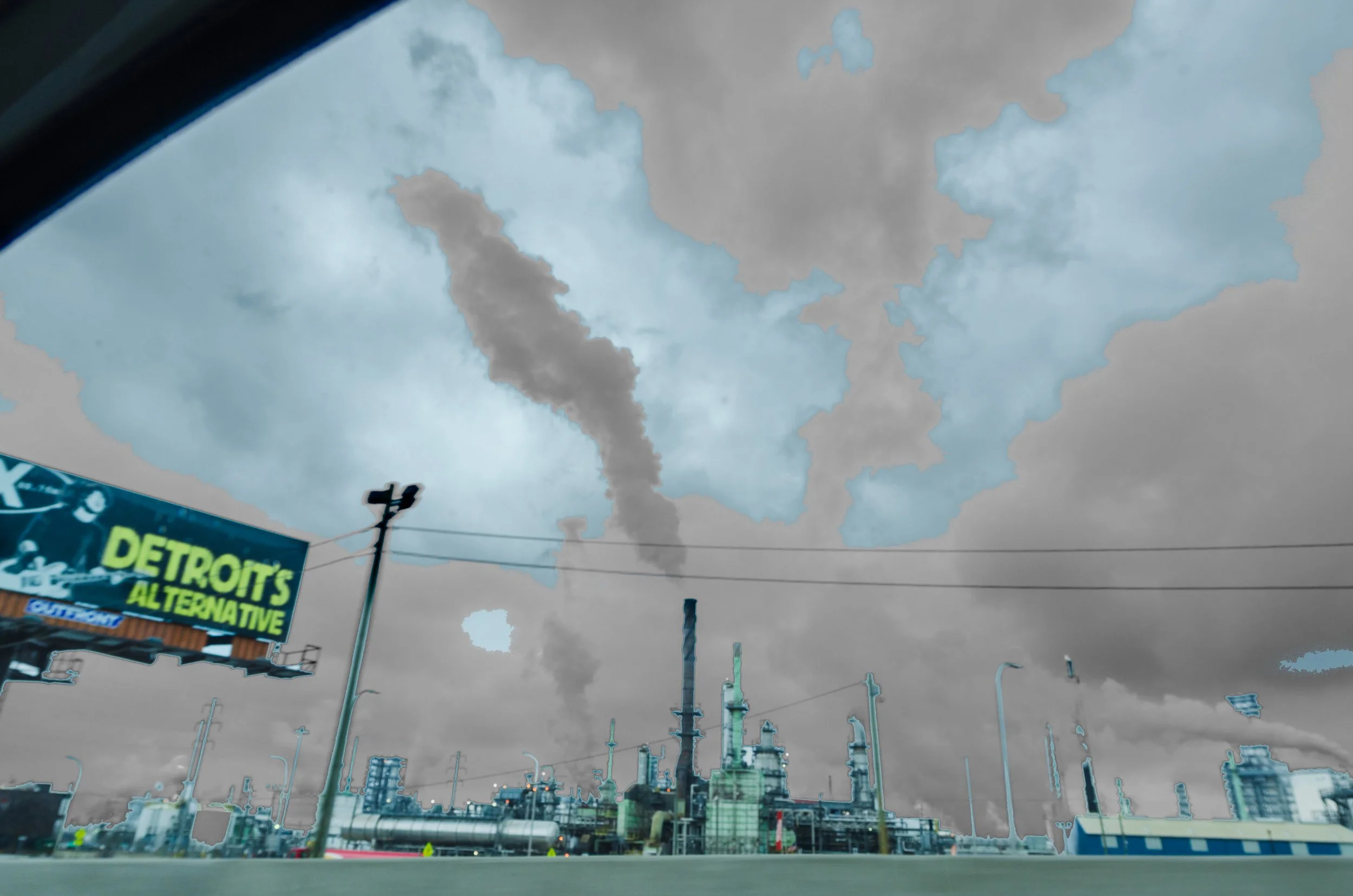
I-75 South, Detroit Alternative
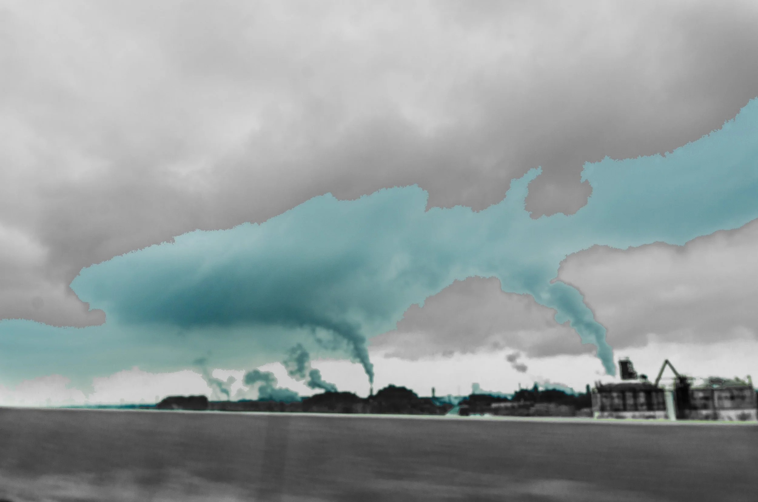
I-75 South, Tornadoes
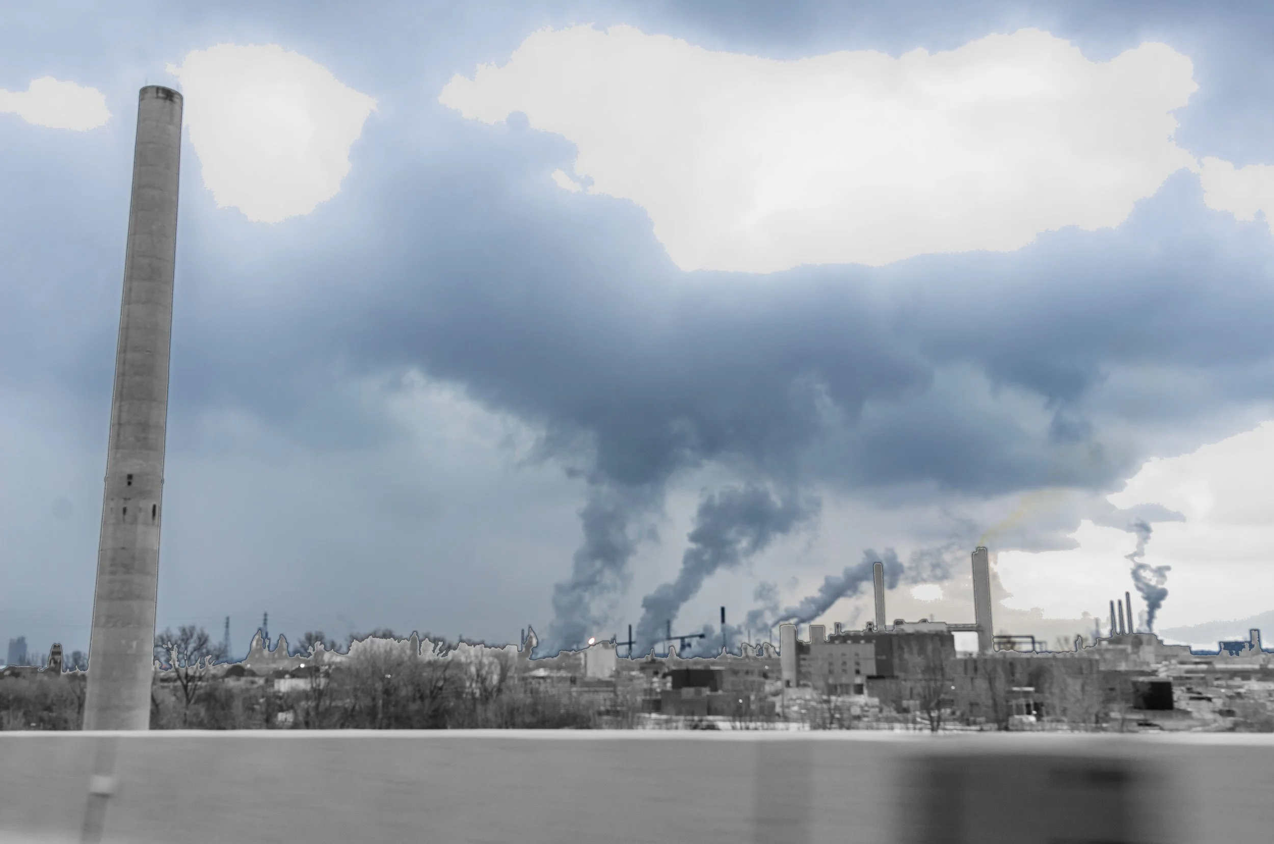
I-75 North, River Rouge, Zug Island
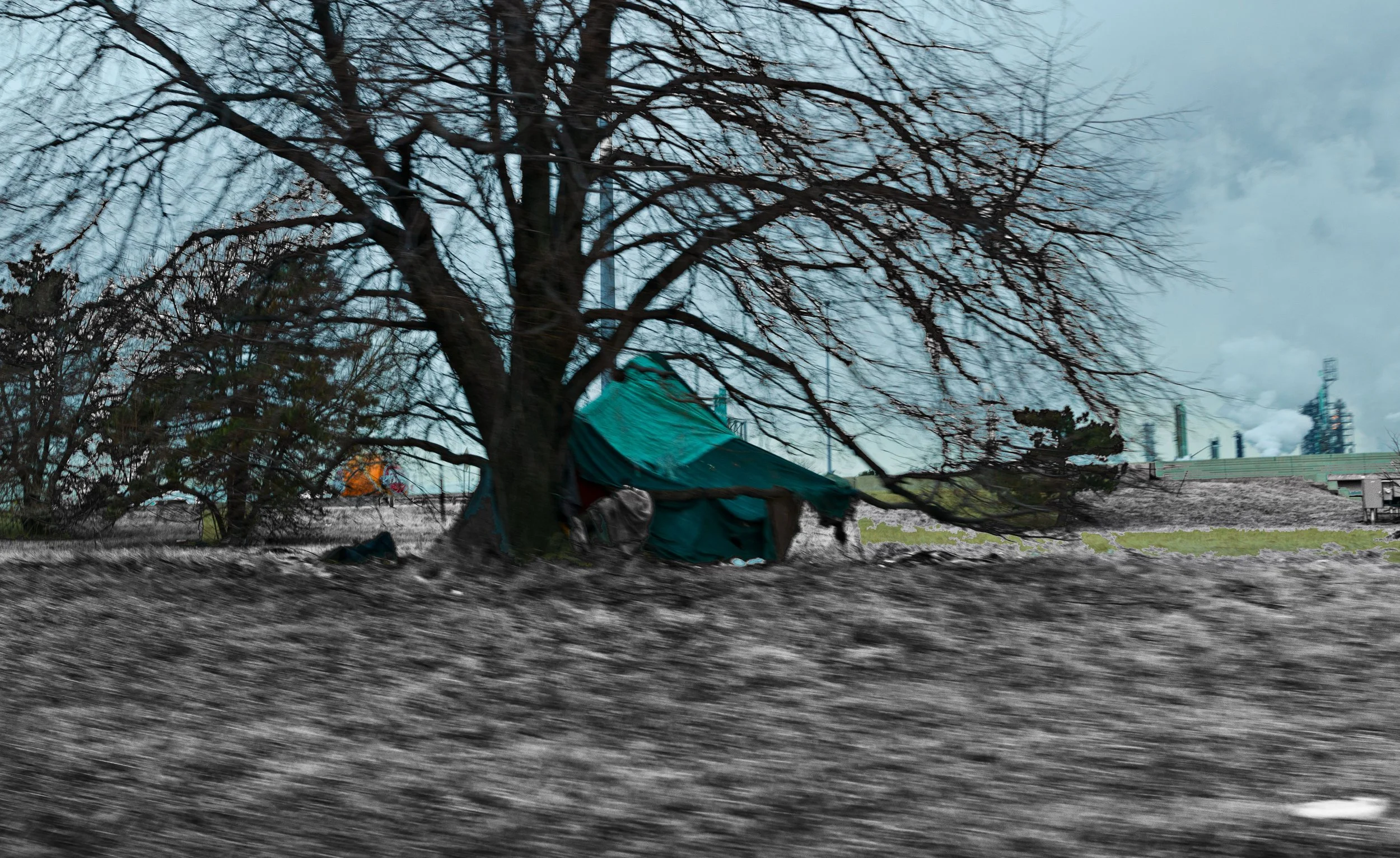
I-75 South, Exit 52, Makeshift dwelling
I-75 North, Ramp to Exit 52
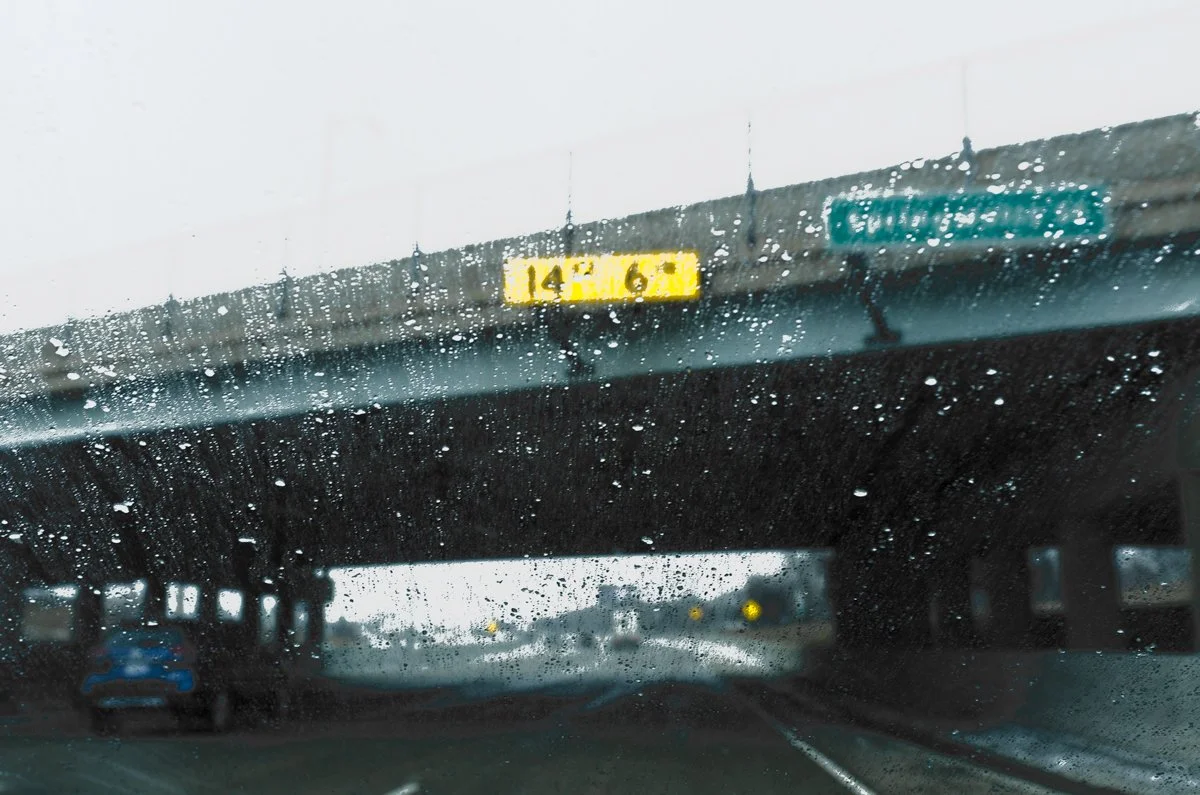
I-94 East, Winter
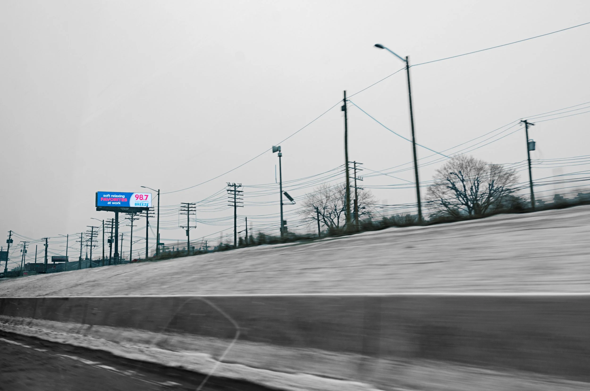
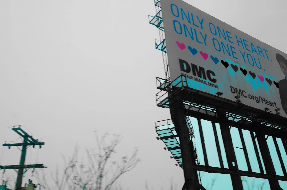
I-75 North, Blue billboard
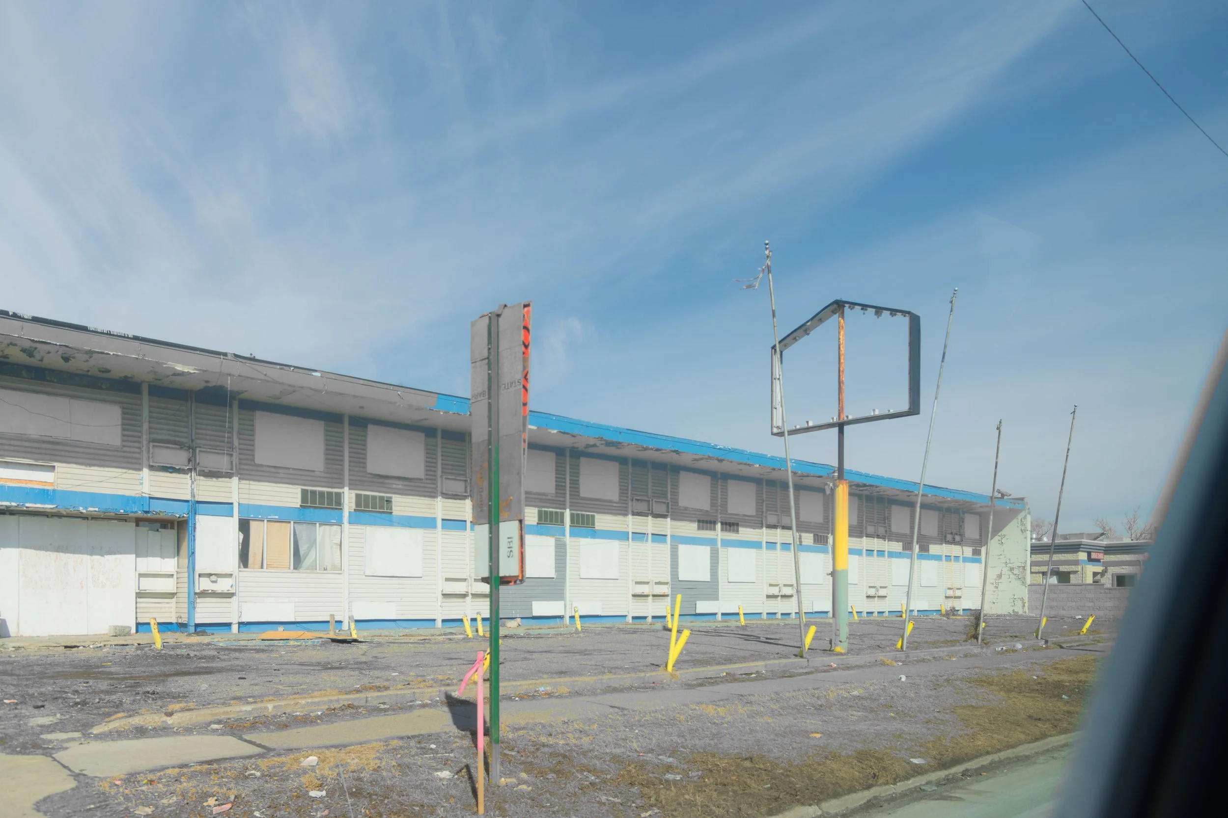
I-75 North, Ghost town
I-75 North, Billboard
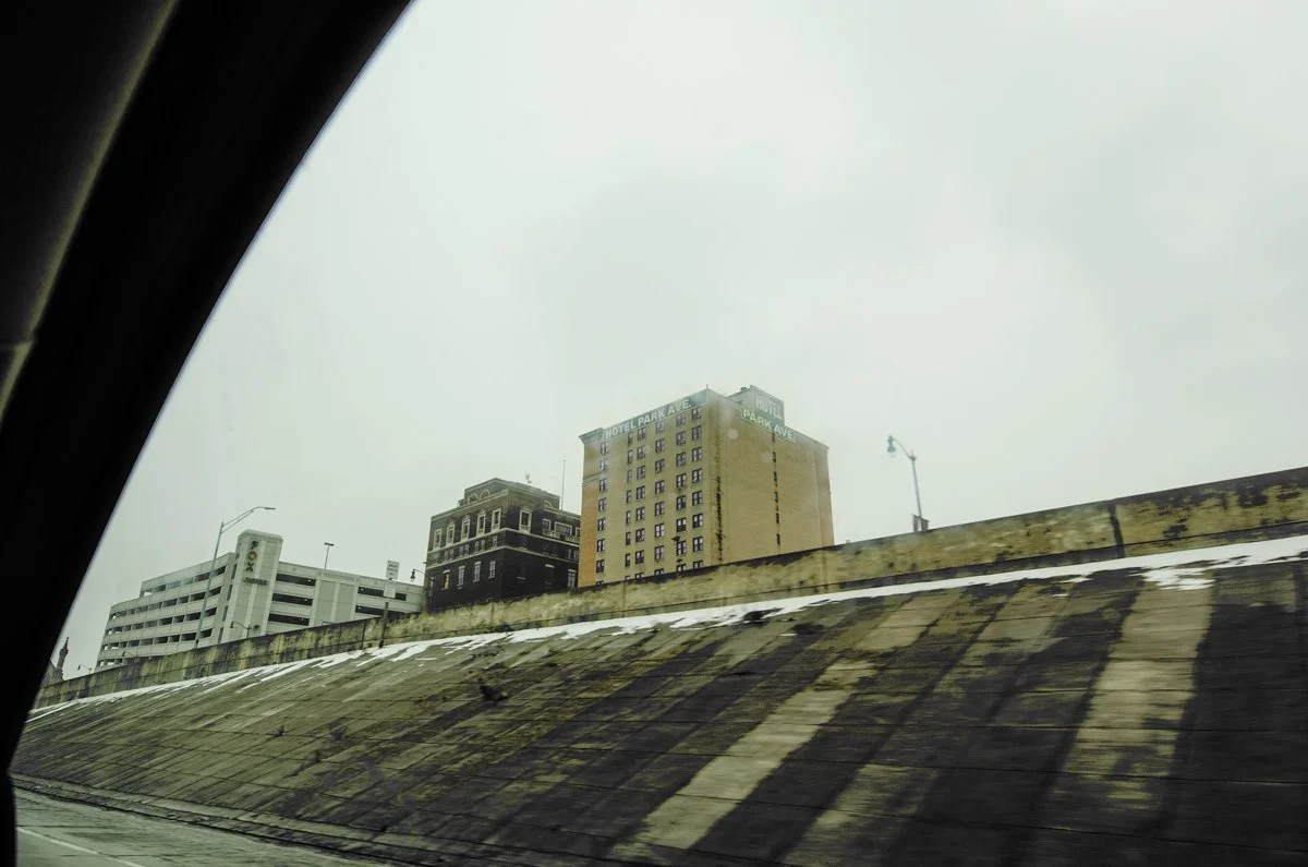
I-94 East, Almost downtown
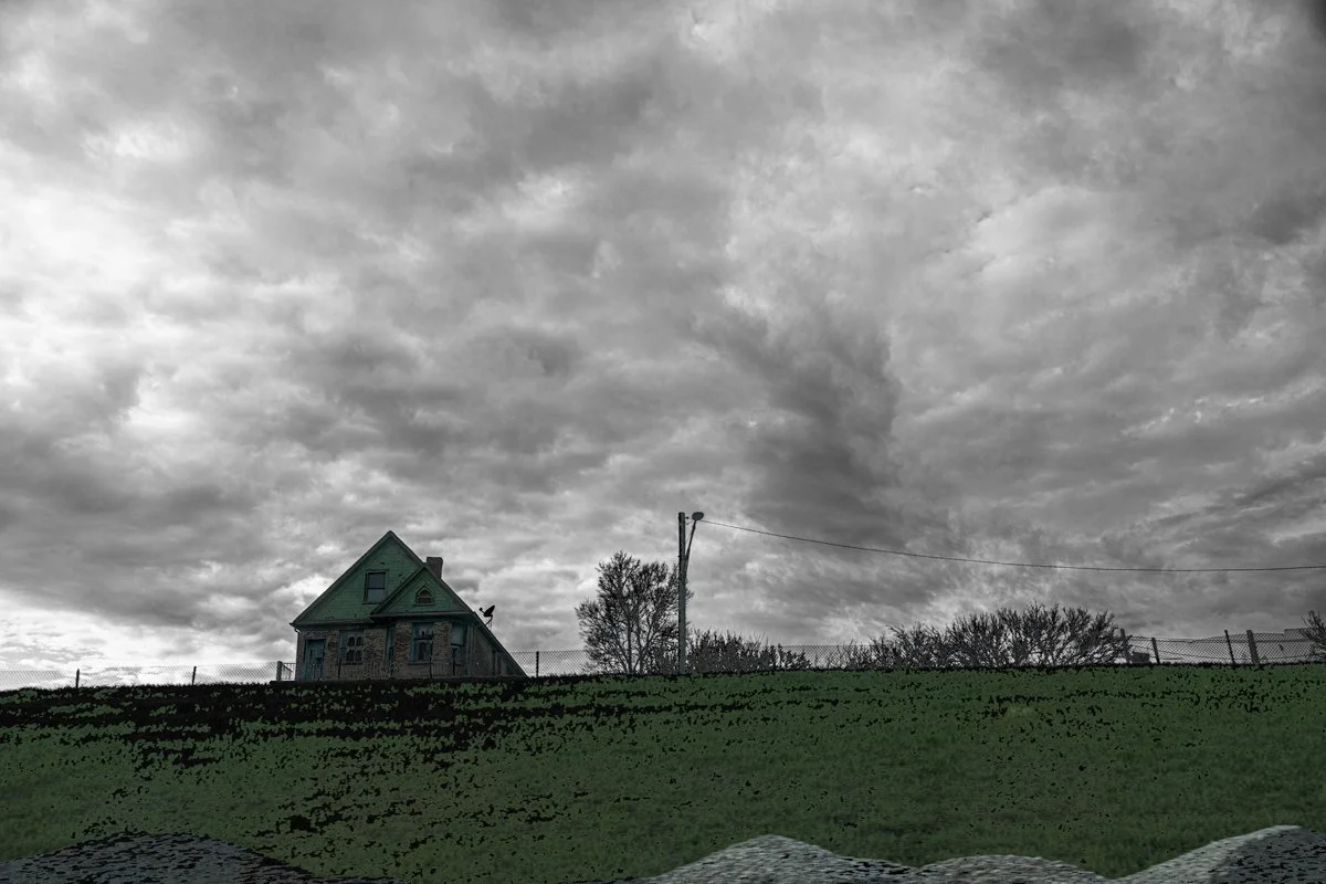
I-94 West, Green house
I-94 West, Our Lady of the Rosary

Off Gratiot Ave. North, Justice
Gratiot Ave. South, Anonymous motel
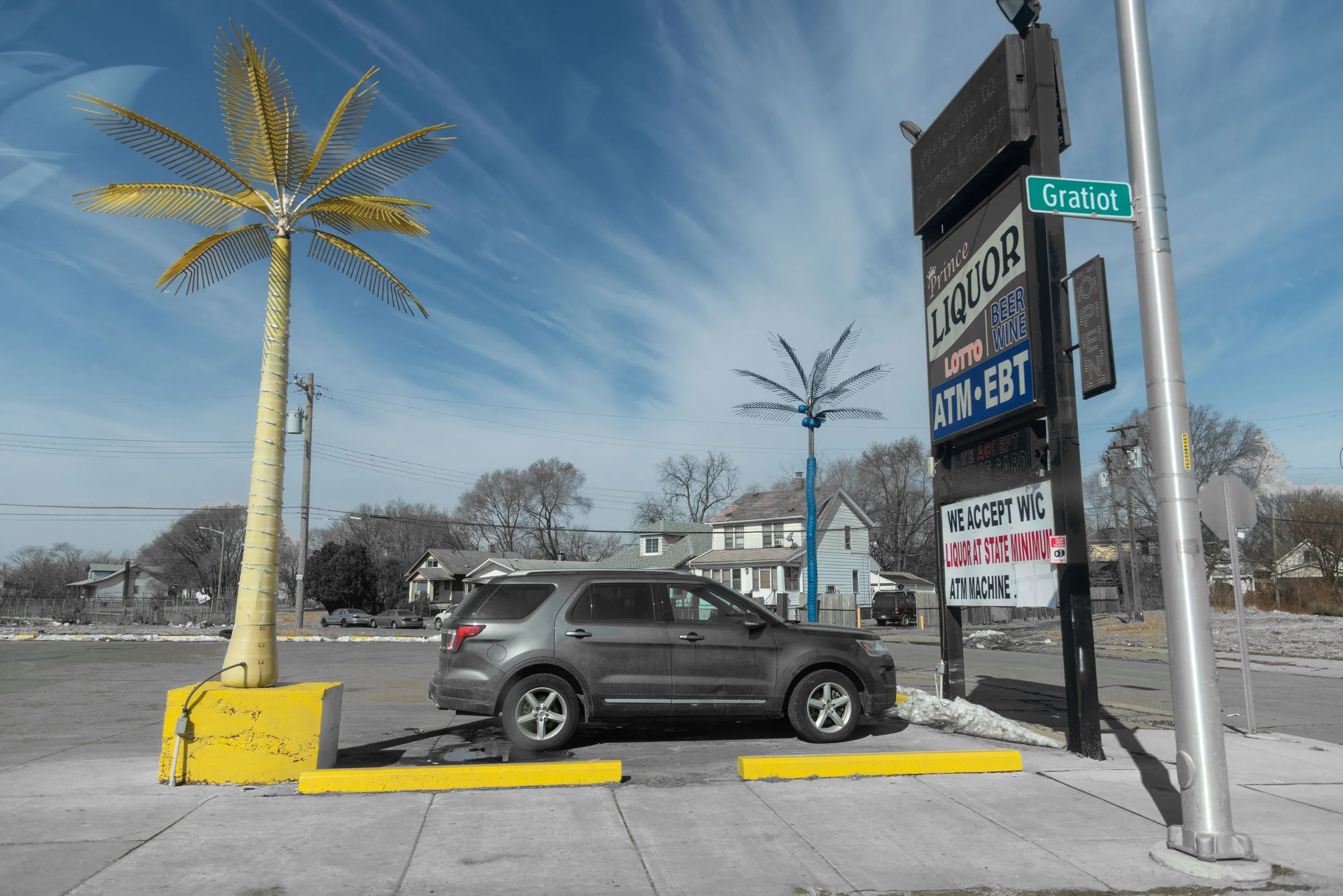
Gratiot Ave. North, Palms
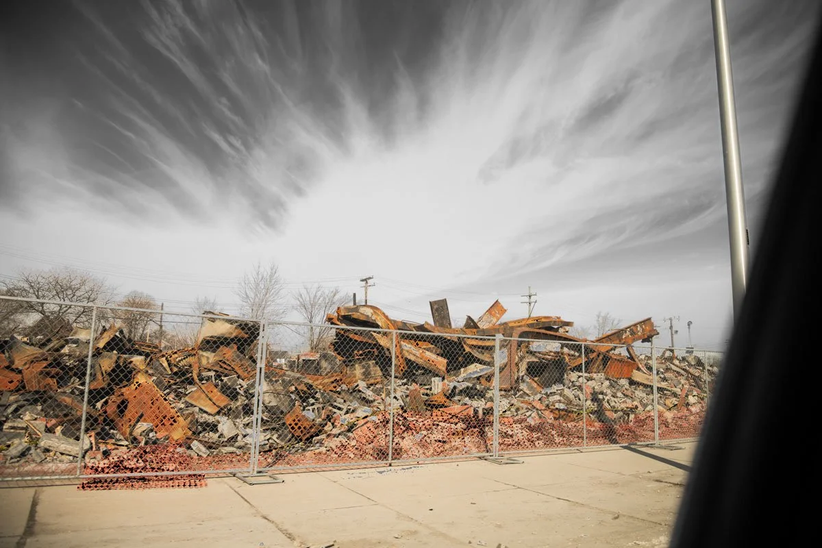
Off Gratiot Ave. South, Scrap
I-94 West, St. John the Divine
I-75 North/Chrysler Drive, Chimera
I-94 North, Blinding sunset

I-69 West, Red house
M-10 West, Exiting Detroit
Detroit came to prominence in the first half of the twentieth century thanks to the monocultural hegemony of the automotive industry, also the source of the city’s decades-long crisis. Its highway network reminds me of a hydraulic system, which crisscrosses neighborhoods, often creating unsurmountable obstacles in their midst. Flanked and squeezed in by high banks, cars and trucksmove along river bottoms, while small and large buildings run by swiftly along the sides. When driving into city, the highways seem to move quickly toward you and then vanish into uncontrollable curvilinear points of fugue.
I took photographs from the passenger seat, reacting instinctively to the stimuli that came from outside the vehicle. I let Photoshop turn parts of the images into black and white, while leaving others in color. The algorithms play the“third eye”, thus reproducing the experience of looking at fast-moving objects: some capture our attention, while others are barely noticed.
The result is a highly selective but revealing portrait of Detroit, which we “imagine” beyond thehighways/river banks, road signals, billboards, tall or low buildings and electrical wires that dominate our immediate surroundings and loom over us from above.